

Hiking to the End of Tomales Point Trail, A.K.A. An Afternoon Surrounded by Water and Elk in the Point Reyes National Seashore
On Sunday, J, V, and I drove north in a Zip Car. After some confusion and a wrong turn down an unpaved cattle farm road, we found J’s drop zone: a vineyard on top of a hill overlooking Nicasio Valley. She was there to work. V, and I were there for fun.

When drunks and bus shelters collide.

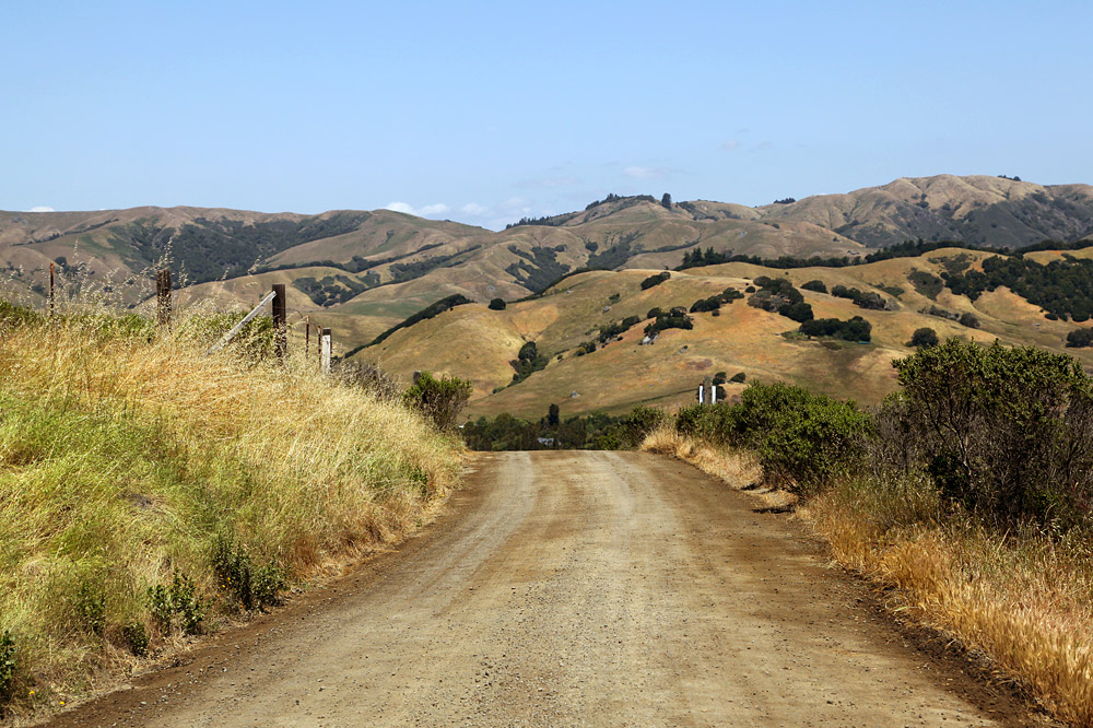
Lucas Valley Road.

Nicasio Church.
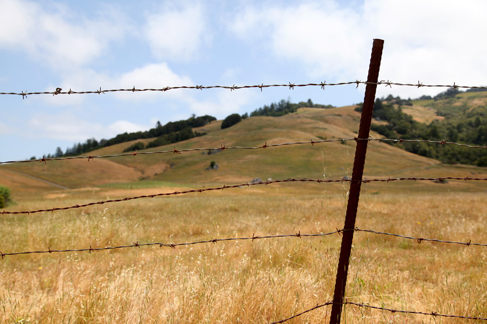
No trespassing on this field of dead grass.

An empty scoreboard.

Old barn.

Witnesses to our foolish detour.

Another witness standing there judging us with her glassy eyes.
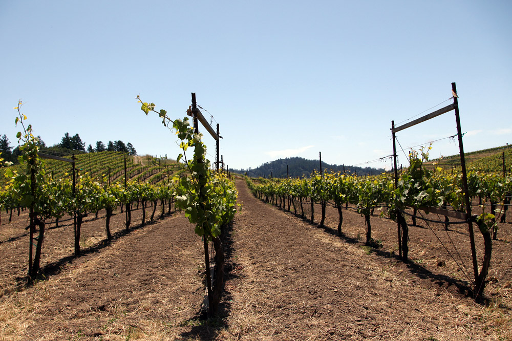
The vineyards.
Leaving the drop zone.
We were just two guys having a good time, having a good time.
After face-cramming artisan sandwiches, we drove to the Point Reyes visitor’s center for hiking suggestions. The elderly volunteer drifted into other topics, so we backed away from the wooden counter, nodded in thanks, and never looked back as the rear tires of the car shot gravel in her direction.
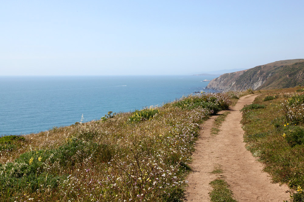
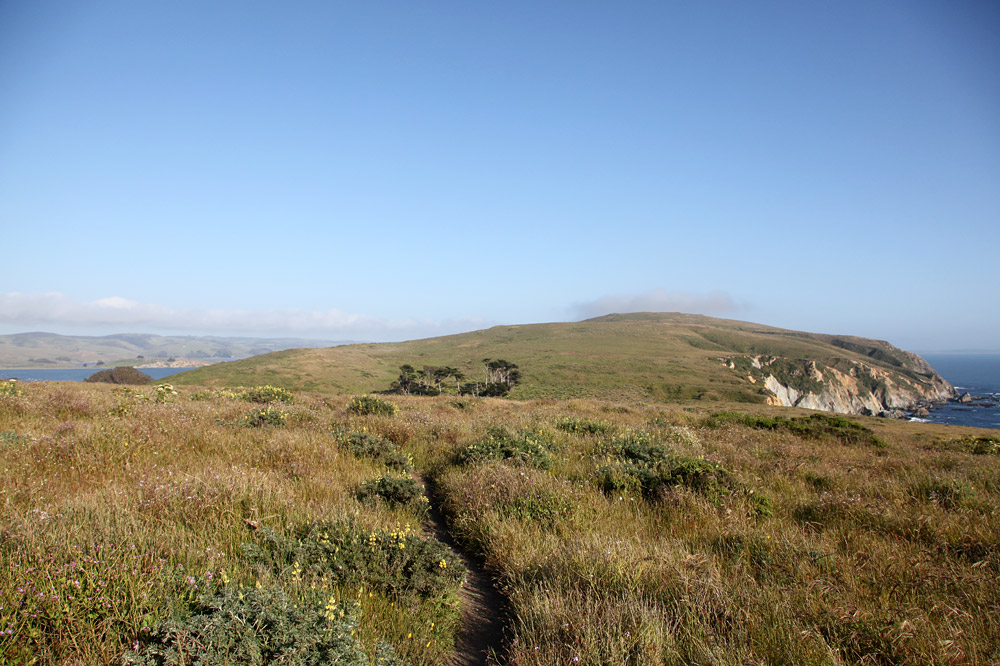
Tomales Point Trail lies at the northernmost tip of Point Reyes National Seashore where the Pacific Ocean meets Bodega Bay. It runs along coastal bluffs and through the Tule Elk Preserve en route to its climactic, wave-battered cusp.
Nik’s Quick Trail Facts™: Round-Trip Length: 9.5 miles, Gross Elevation Change: 1,090′, Scenery: Ocean, land. Animals: Tule elk, turkey vultures, larvae.
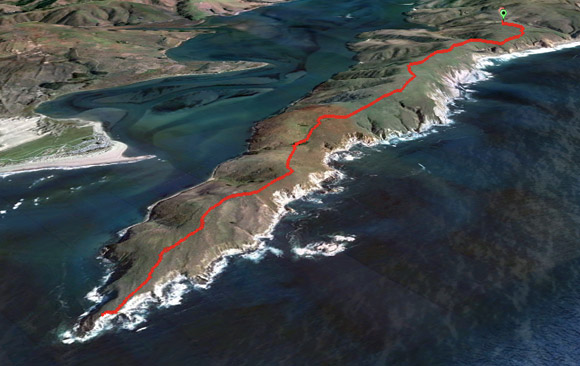
The route in red. Path courtesy of V.
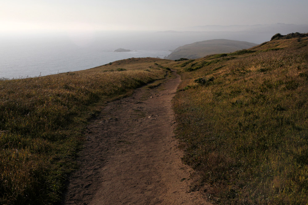
We departed from Pierce Point Ranch, a self-guided abandoned ranch of historic white wooden buildings. After 3.5 miles, the trail narrowed into an unmaintained state. The thick flowering brush, thistles, and wild radish further obscured the sandy path. A pandemic of Banded Woolly Bear larvae and ladybugs covered everything. Another 1.5 miles in, we reached the point, took a water and soft batch cookie break, and admired the surrounding scenery.
Somewhere down the road is an escaped cow.
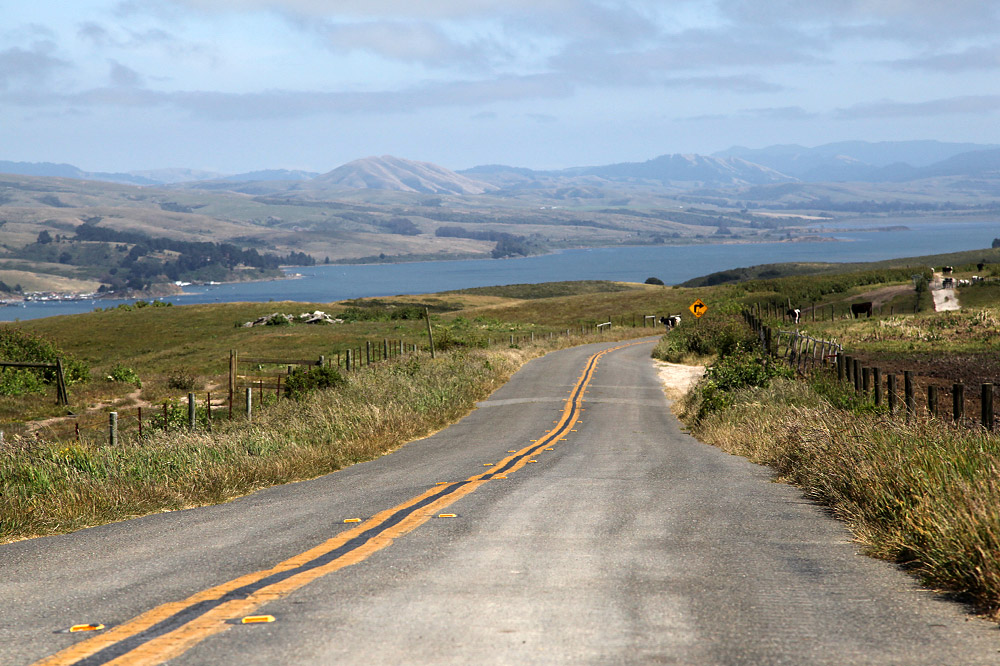
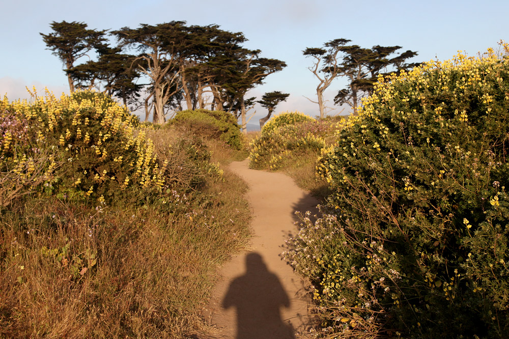
Approaching the trailhead.

Pierce Point Ranch.
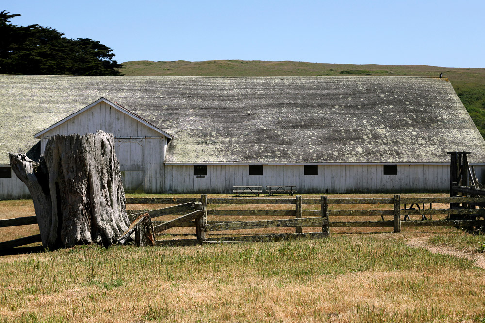
Hay barn.
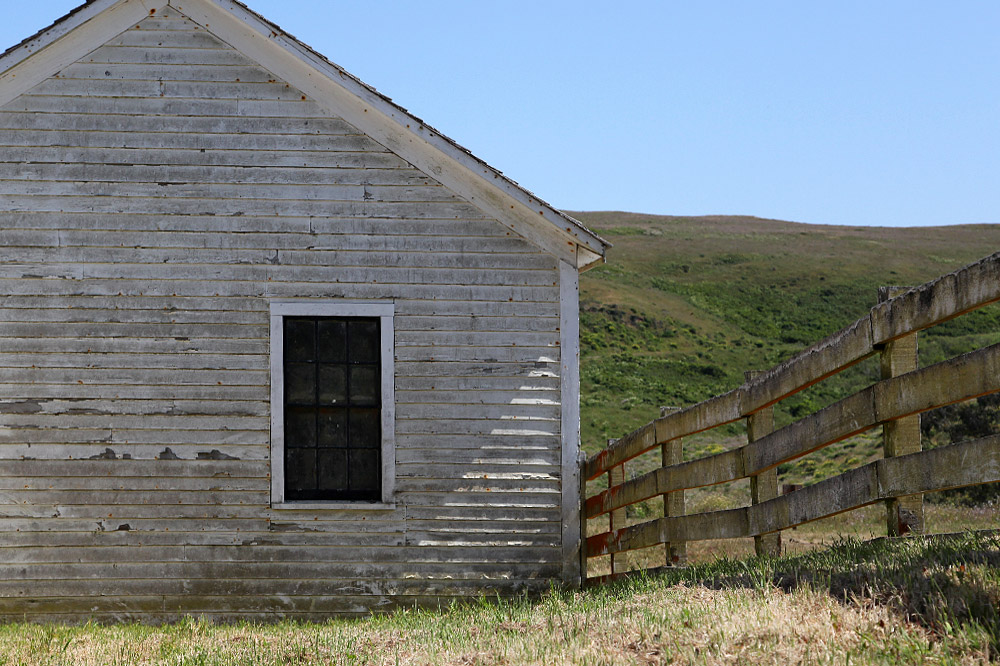
Fence.
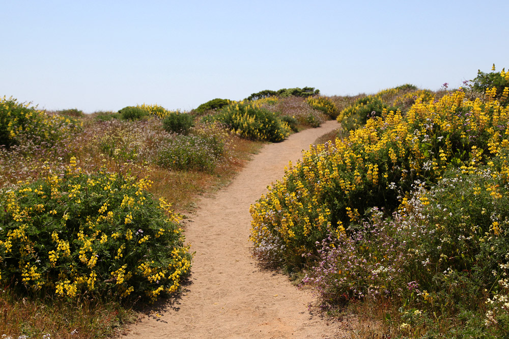
The start of the trail.
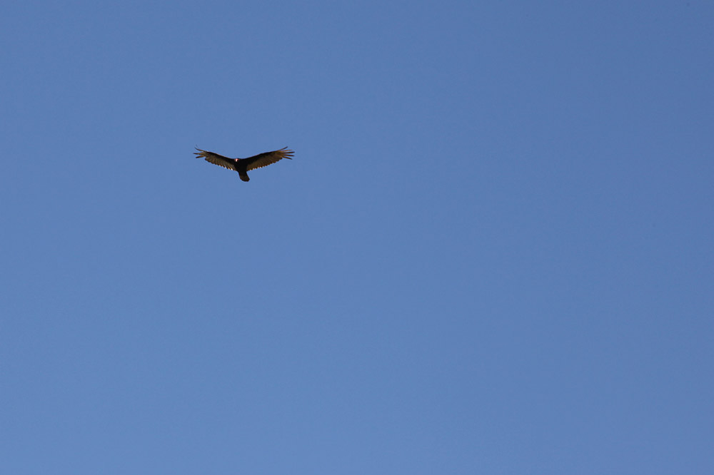
Turkey vultures keeping an eye on the weak.
The first taste of epic scenery.

Cliff Huxtable.

Theo gulch.
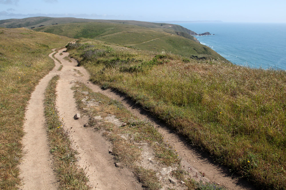
Looking back.

Looking forward.

Dried grass.
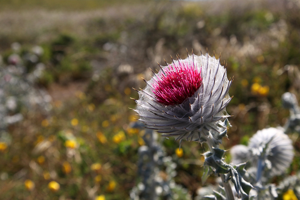
Intercontinental ballistic thistle.

V entering the radish field.
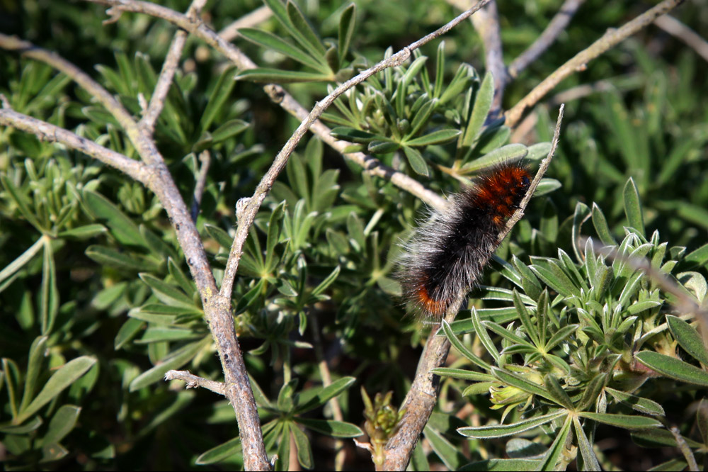
Wolly bears everywhere.
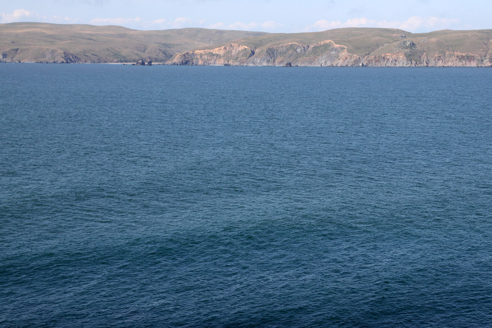
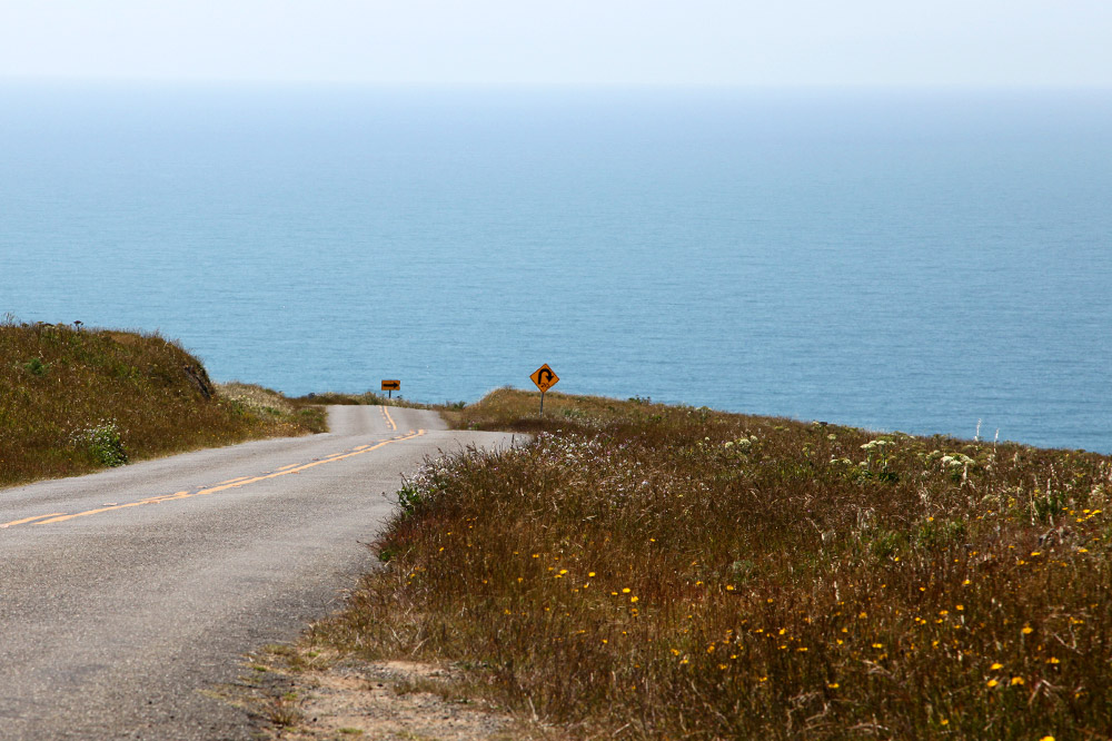
Looking towards California from the point.
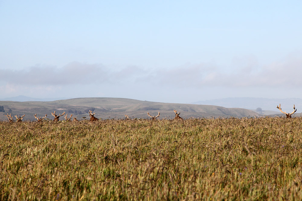
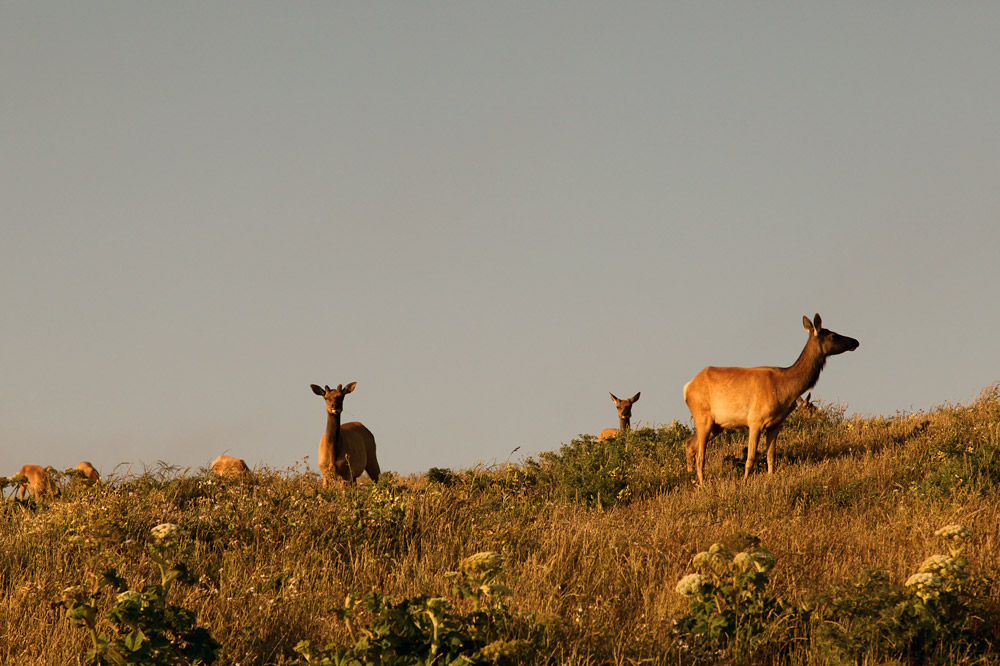
Backtracking was the only way to return, but by early evening all of the elk were out. The ladies grazed close to the trail, while the armed bucks kept guard from higher ground. We passed by at least 4 different groups of elk, seeing around 200 total. This is short of the 600 or so in the small preserve.
The hike took around 4 hours.
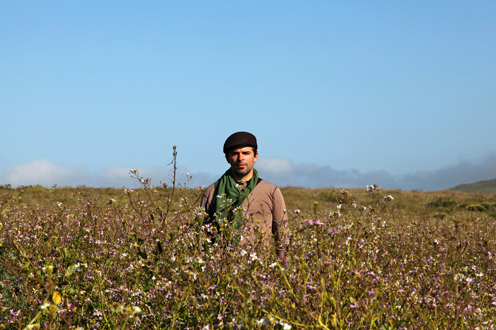
Me in the radish.
Water to the left, water to the right, water to the back.

Pee trees.
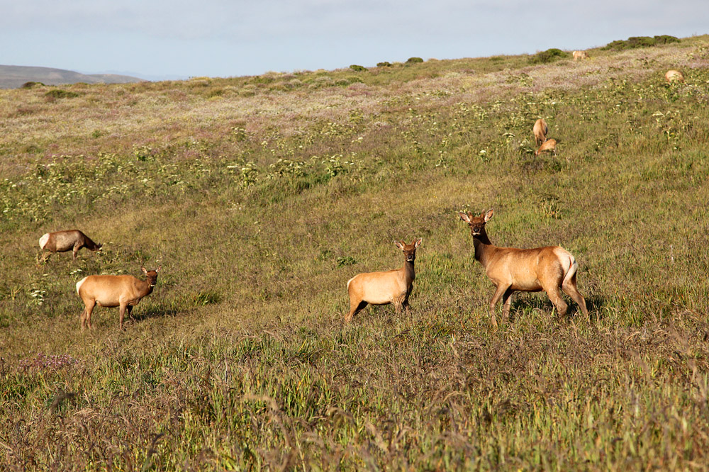
The ladies.

The men.
Not very well hidden.
Looking back again.

Fog drifting in.
The last batch of elk.
Approaching the trailhead.
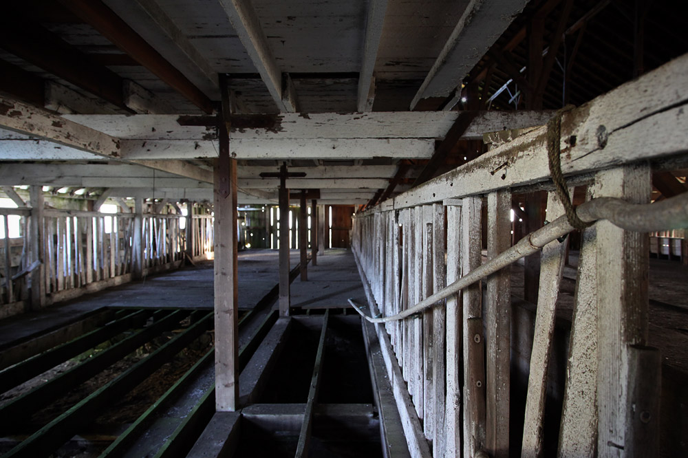
One last stroll through the hay barn.
I can’t imagine a better Sunday than a 10 mile hike in mild weather through beautiful animal and flower-filled scenery. Actually, maybe if I found a free Lamborghini Countach with intercourse, sacks of money, and candy in it…
Someday.