

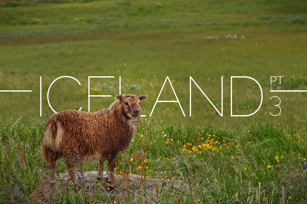
Iceland Part 3: Laugarbakki, Sigulfjordur, Tunnels, Whales
Wednesday morning, we searched for coffee and breakfast amongst the gull-filled cliffs of Helnar. The more scenic spot hadn’t opened, so we went and got sandwiches and a slice of rhubarb crumble from the only other option in town.
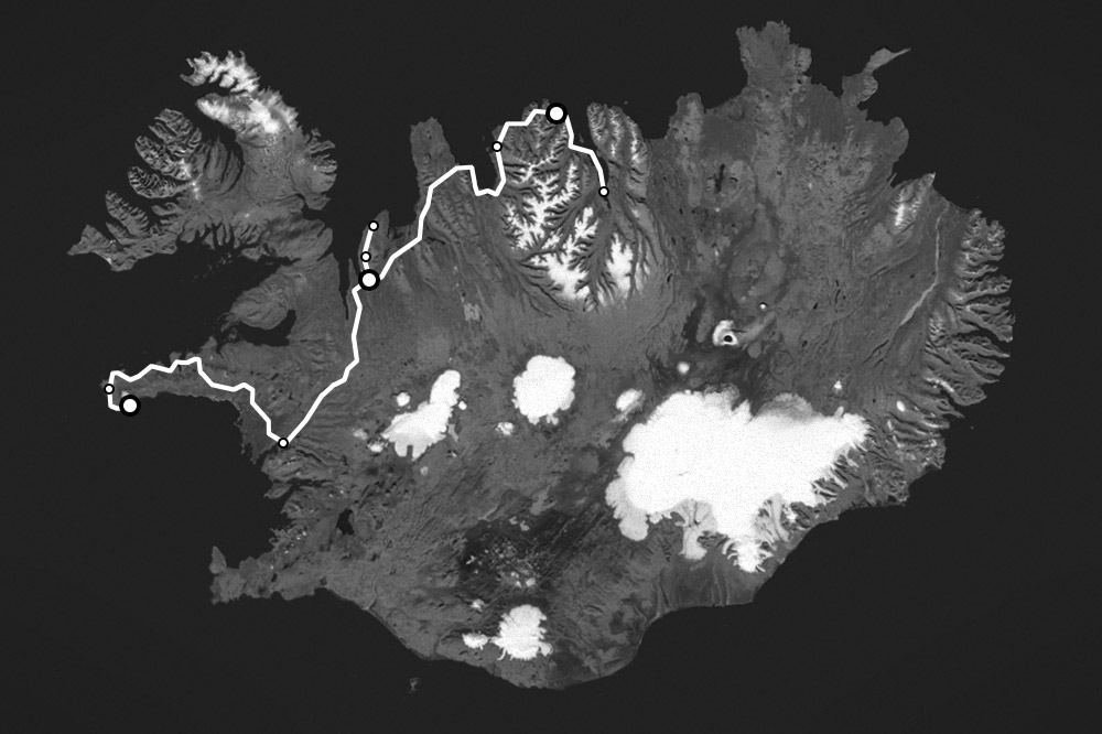
Our route for the three days covered in this post originated in Arnarstapi, with stops in Helnar, Saxhóll, Hvammstangi, and an overnight stay in Laugarbakki. Then to Hofsós, Sigulfjordur, Akureyri and back to Sigulfjordur.
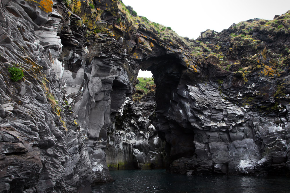
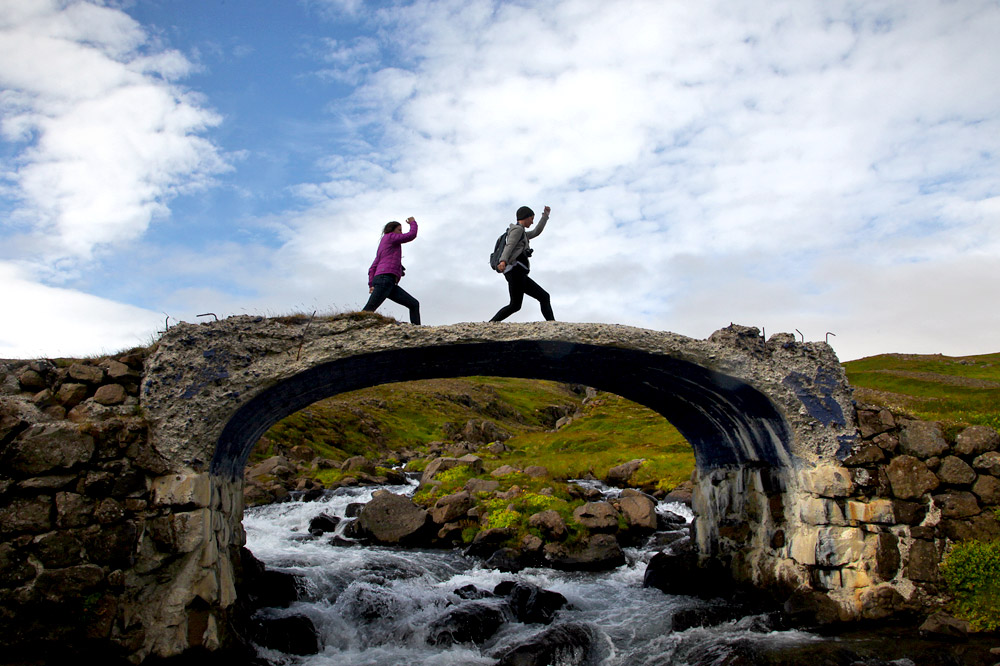
Natural bridge and more gulls.
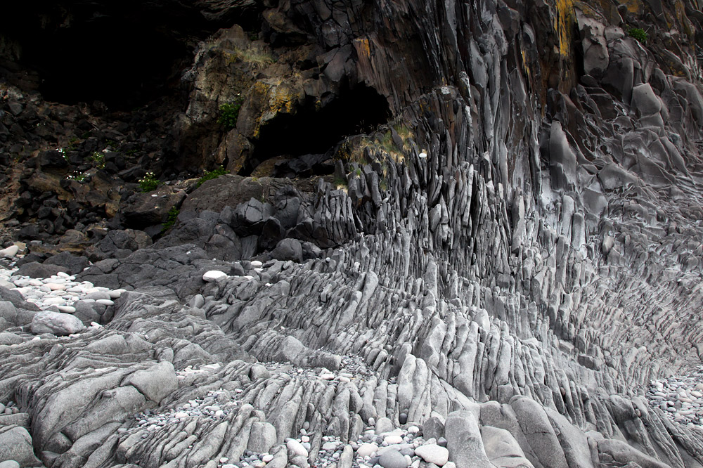
A swirling mass of broken stone.
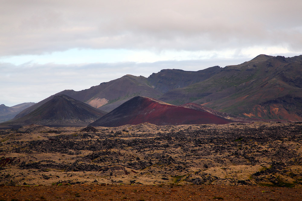
From there, we drove north through another old lava field. We stopped at the dead Saxhóll volcano and climbed the crumbling path that spiraled up to the rim. My sandals performed well, though I had careful to not slice my feet open on the sharp rocks.
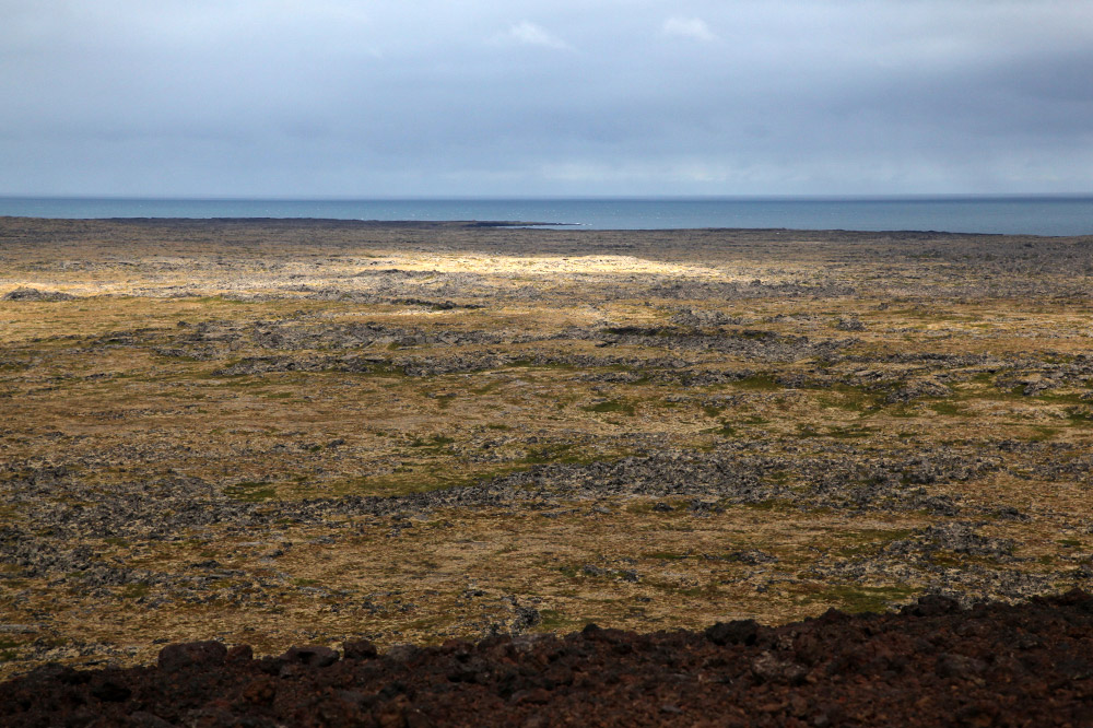
Lava field.
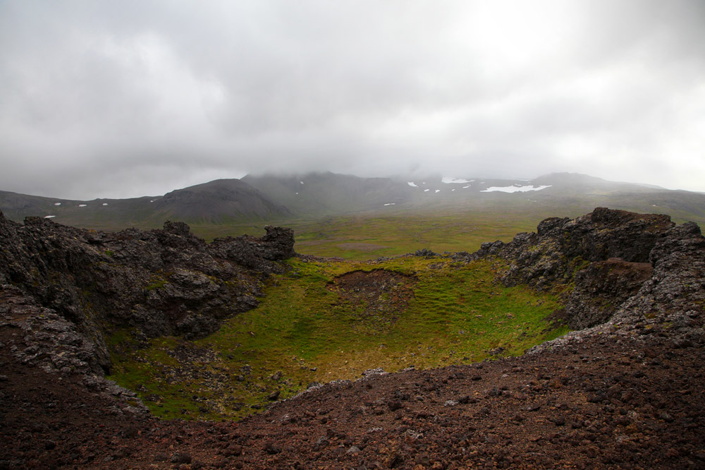
The crater.
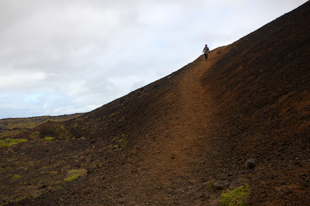
J on the descent.
We continued around the peninsula, then cut south after Bjarnarhöfn to head back to Borgarnes for gas and free coffee. As part of the car rental, we received a card that offered free coffee, wifi, and small gas discounts at Olis stations around the island. The coffee wasn’t great, but it was hot.
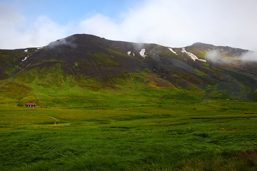
Between Borgarnes and the north shore we stopped and picnicked on a massive flat rock overlooking a green valley.
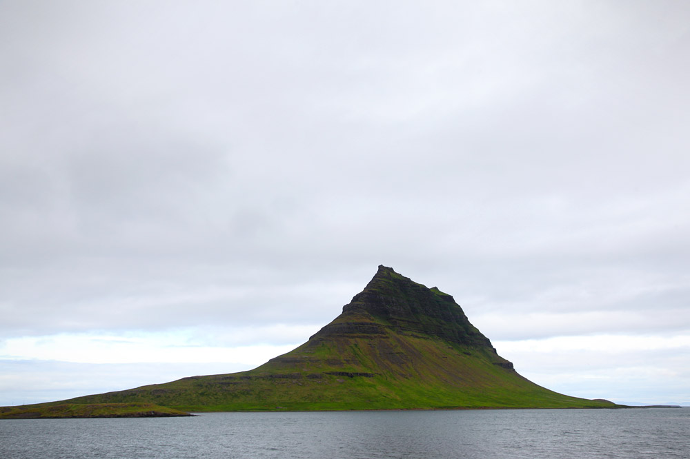
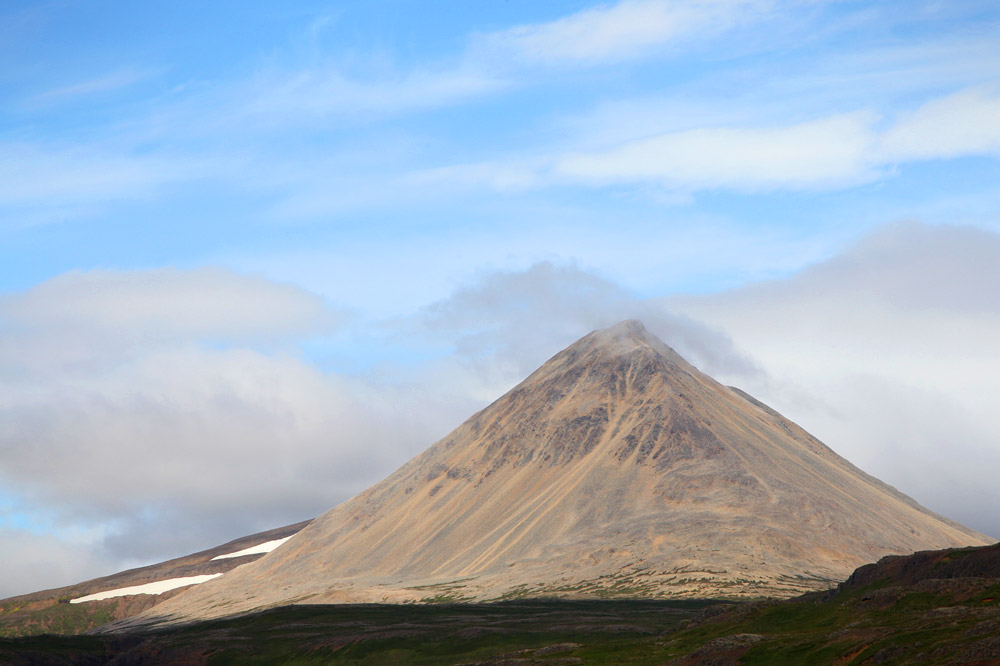
Mountain.
Mars simulator.
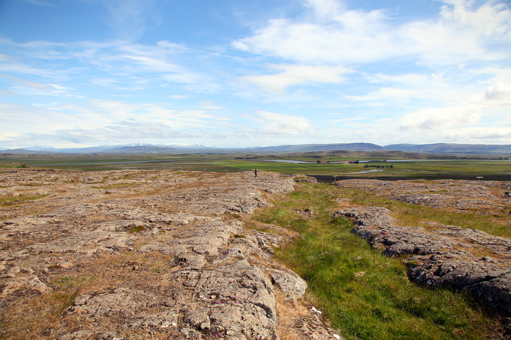
Flatland.
Our snack spot.
Cone.
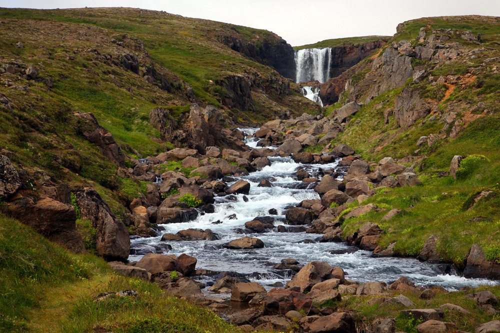
Hidden falls we spotted off the road and hiked to.
Chasing waterfalls.
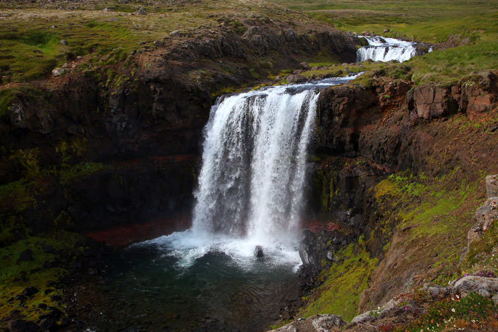
The main level.
After more driving, and asking for directions, we pulled into the gravel parking lot of a Hotel Edda in Laugarbakki. The building was massive a dreary. Unused playground equipment creaked in the evening wind. We checked in, dropped off our bags, and drove off in search of dinner.
Our desired restaurant, Geitafell, supposedly had amazing fish soup, but it had no location on the map. We tried to find it by clues left in online reviews.
First, we passed through Hvammstangi, then onto a dirt road that followed the edge of Miðfjörður bay to the ocean. The road was bumpy and unlit, and I feared getting a flat tire.
After fifteen teeth-rattling minutes, we had seen many farm animals but no restaurant. It was supposed to be after the last seal viewpoint, but had we even seen the first viewpoint?
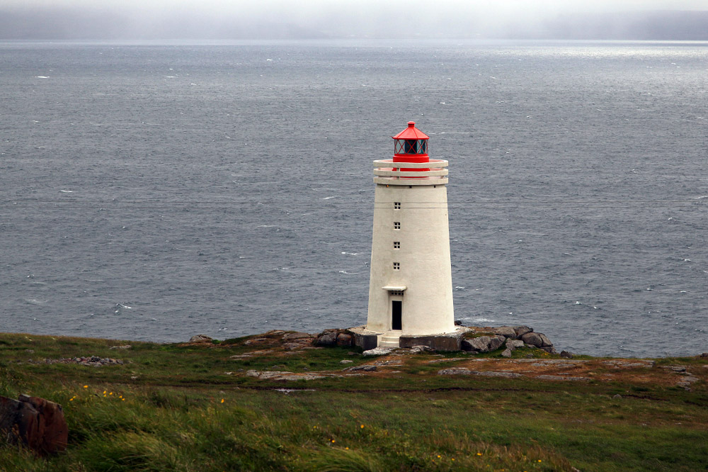
Lighthouse.
We gave up and returned to Hvammstangi to eat at a stylish restaurant on the harbor. Again, we had burgers. The host was summer help from an unknown land, but she explained why all the houses in town had different color-themed decorations. Apparently, each color represented a different region that the homeowner was from. The house with the best decorations won a prize at the weekend festival.
As we were leaving, a group of musicians had began playing on an outdoor stage. It was cold, and steam rose from the band. The festival was starting early.
Our room as Edda was comfortable, and the shared bathroom was a few doors down. The shower room was tiny, and it wasn’t possible to stand in it without being in the shower.
More guests arrived later in the evening, included the verbose, deep-voiced Spanish man in the next room.
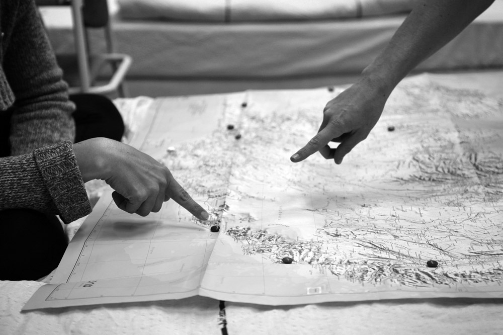
Plotting our stops.
On Thursday morning, we discovered that Hotel Eddas are in buildings used for schools in the winter. That explained why it felt like we were sleeping in a classroom cut in half by a temporary wall, they only offered shared bathrooms, and all the kid-sized skeletons in a pile out back.
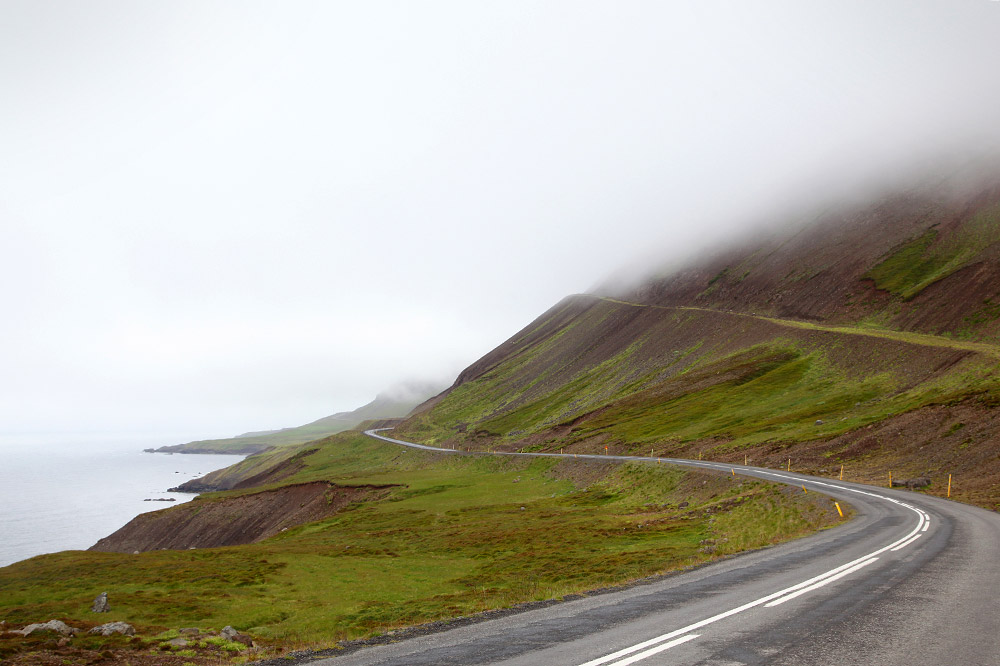
Our drive was foggy. We cut inland at took a high, snowy pass for an hour before coming back to the water. We passed by numerous lighthouses, missed a historic place, stopped for snacks at a dreary grocery, and checked out the brand-new thermal pool on the cliffs of Hofsós town. We decided to not go swimming there, though we later wished we had.
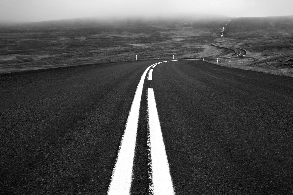
The windy road.
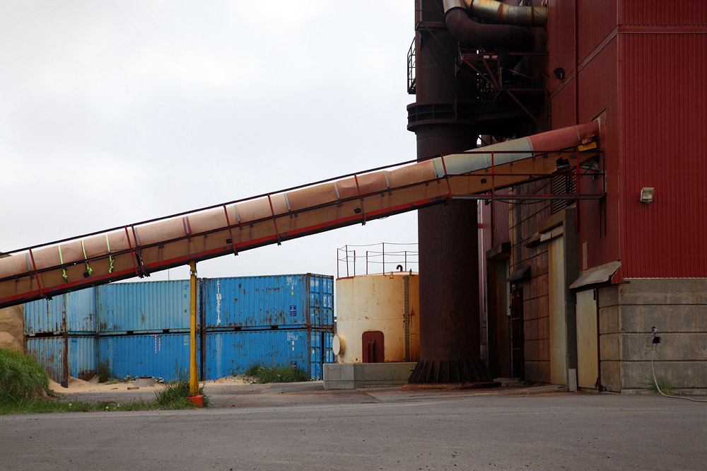
Cement plant.
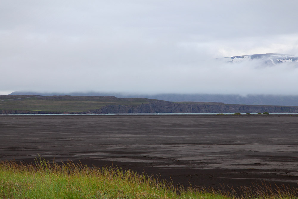
Sandy beach.
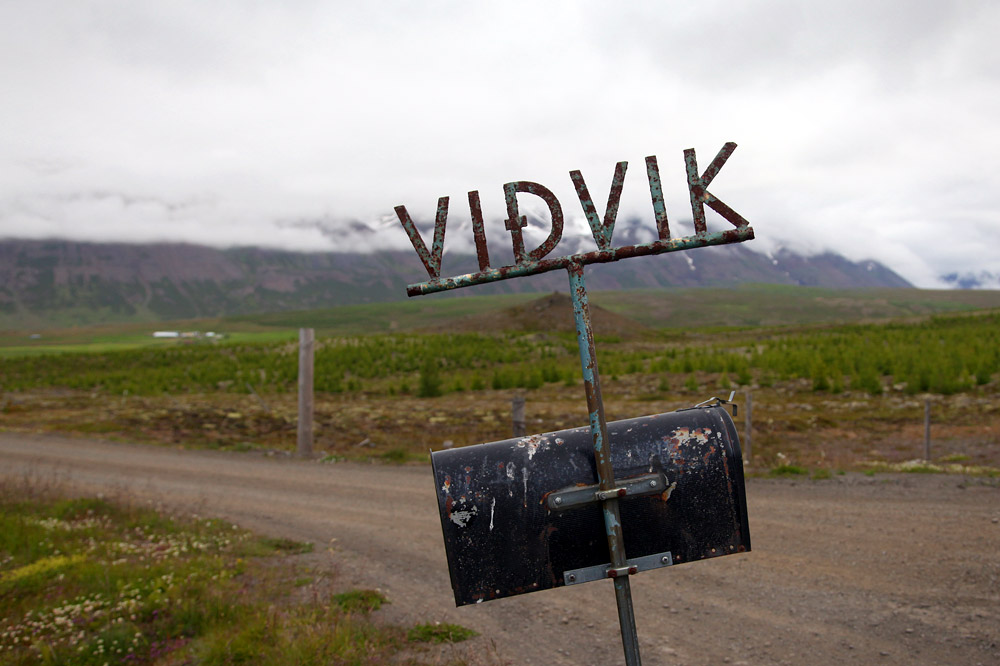
Decorative mailbox.
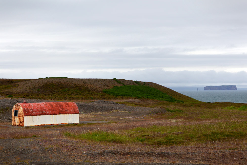
Hut and hut rock.
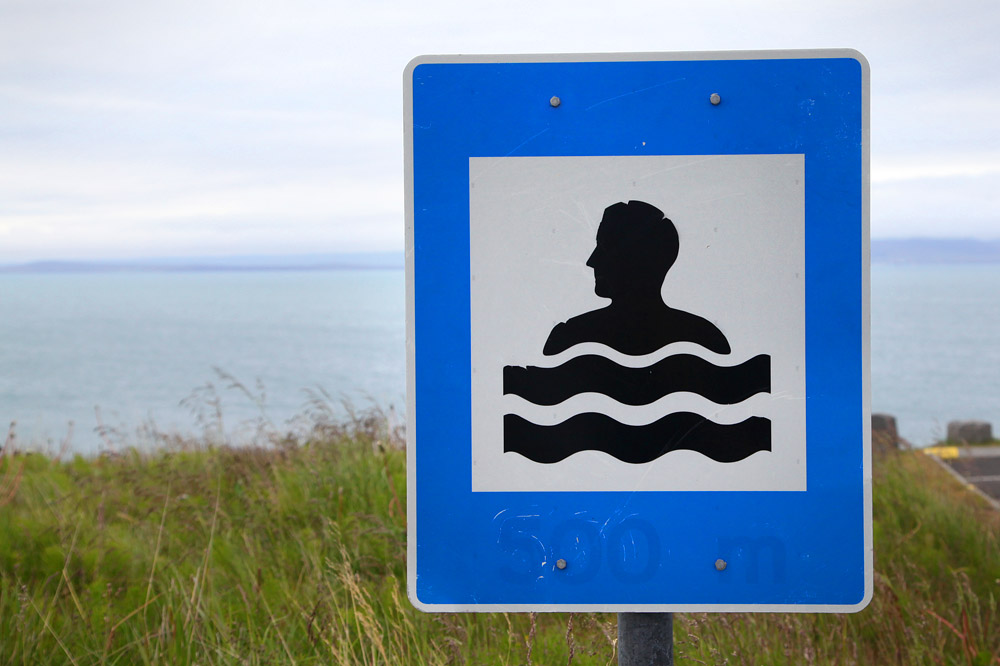
Cool swimming pool icon.
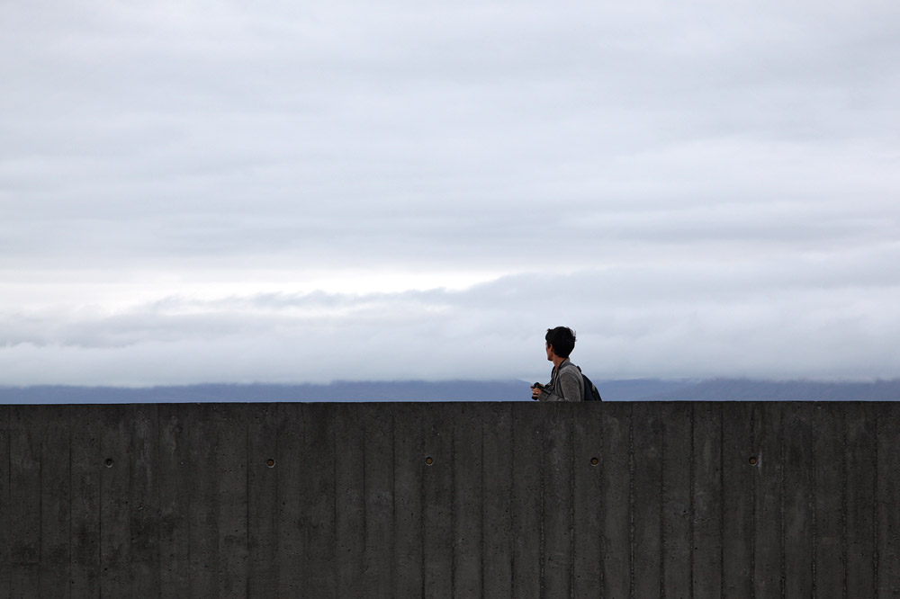
J on the roof of the pool.
Failure was an option.
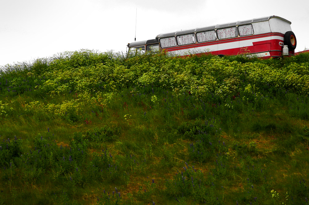
Bus butt.
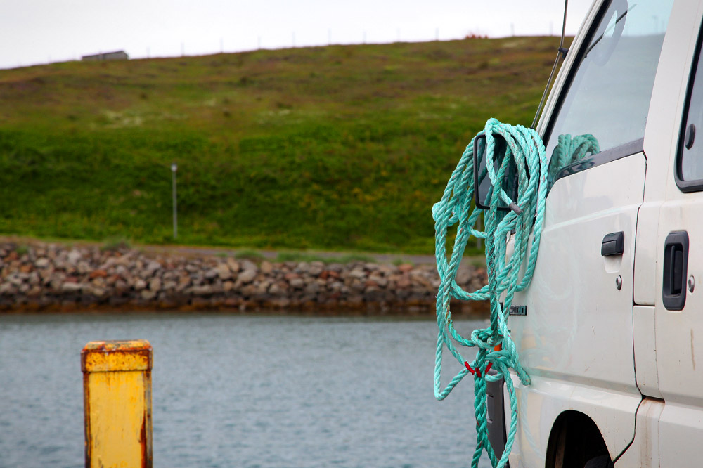
Harbor rope.
In the afternoon, we arrived in Sigulfjordur and checked into our cozy AirBNB house under the avalanche-prone hillside.
It was drizzling outside, so I took a nap while A went on hike. In two hours, she returned wet and ready to buy groceries.
The grocery store was nice and clean and didn’t make me want to kill myself. Since we had a kitchen for two nights, we stocked up on food.
We made pasta for dinner.
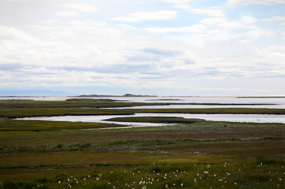
Sandbar.
Misty and high.
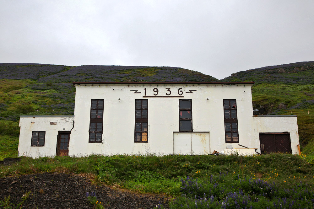
Old building.
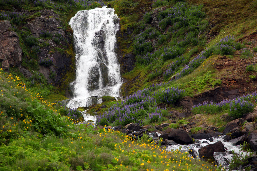
Small falls.
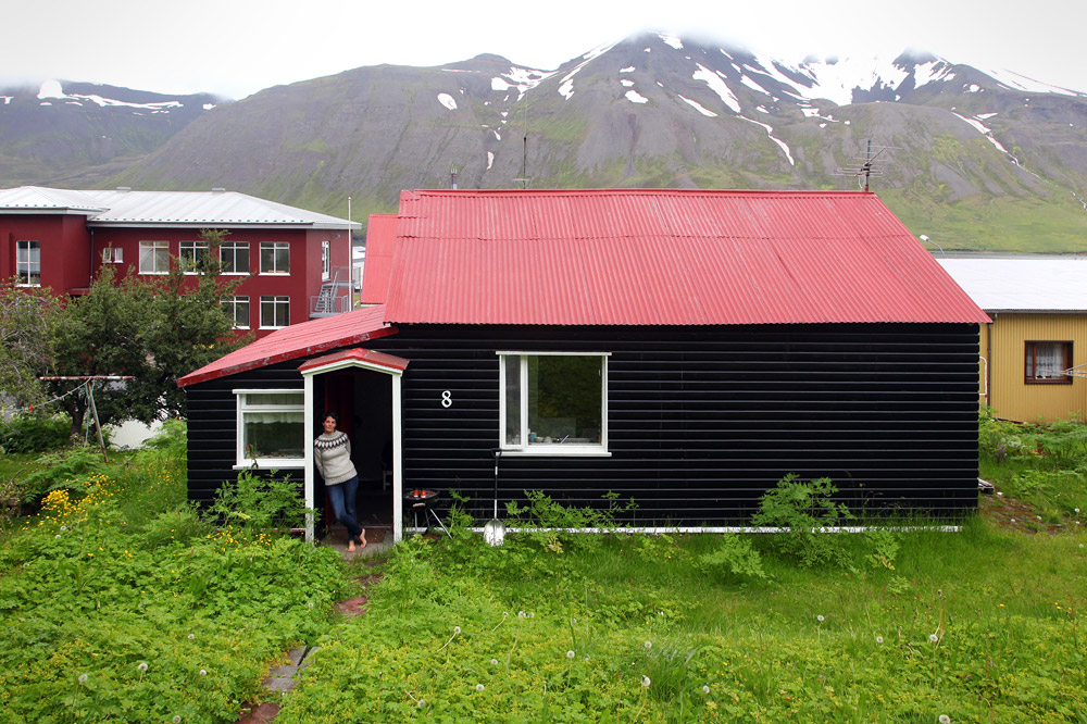
Our AirBNB.
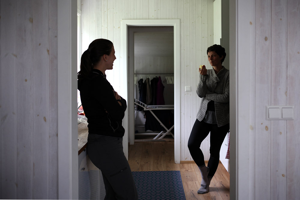
Chatting.
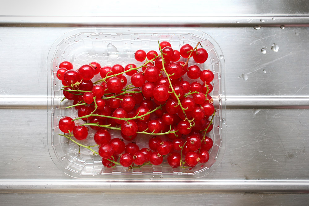
Currants.
The room was stocked with DVDs, but they were the wrong region encoding for the player. After a bit of research, I found an unlock code. Imagining tense music, I opened the disk tray and entered the sequence on the remote.
BEEP BOOP BEEP!
A bead of sweat rolled down my temple.
BEEP BOOP BEEP!
Region zero.
We randomly selected Hot Fuzz.
That night, we went to bed early for the greater good.
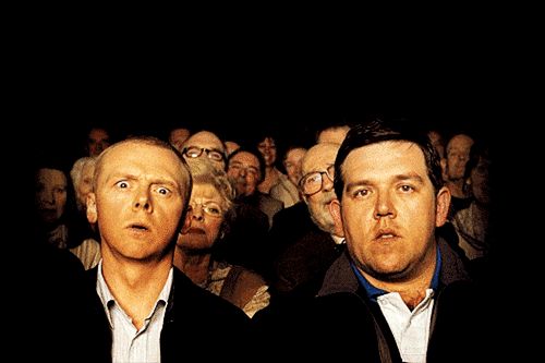
The greater good.
–
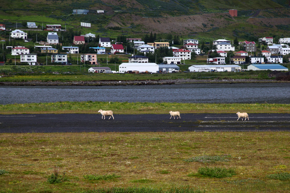
Friday morning was overcast. We drove to the base of the fjord, then took a dirt road along the decommissioned landing strip to the intersection before a rickety wooden bridge. We parked right in the middle of the terns’ territory, and they harassed us as we crossed the bridge and entered the “trail.”
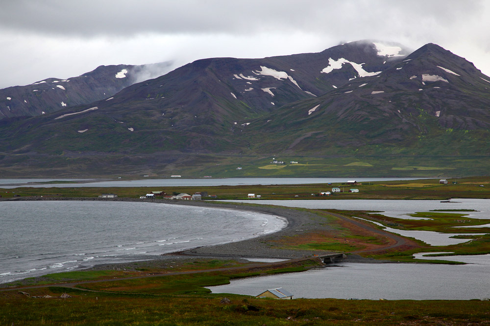
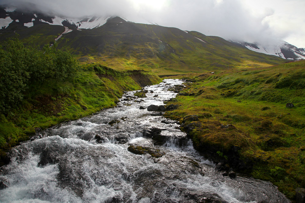
The grass was wet and thick, and numerous shallow creeks had to be crossed via logs or rocks. We stopped at the ruins of an old herring factory that was destroyed by an avalanche. Across the water was a panoramic view of Sigulfjordur.
Meadow and hill.
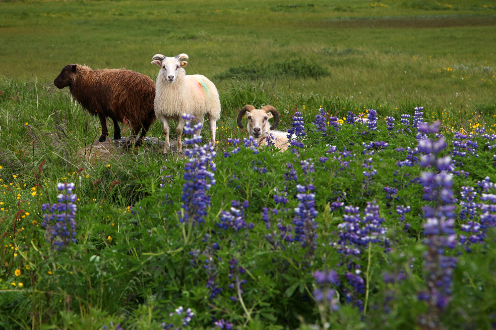
Curious sheep.
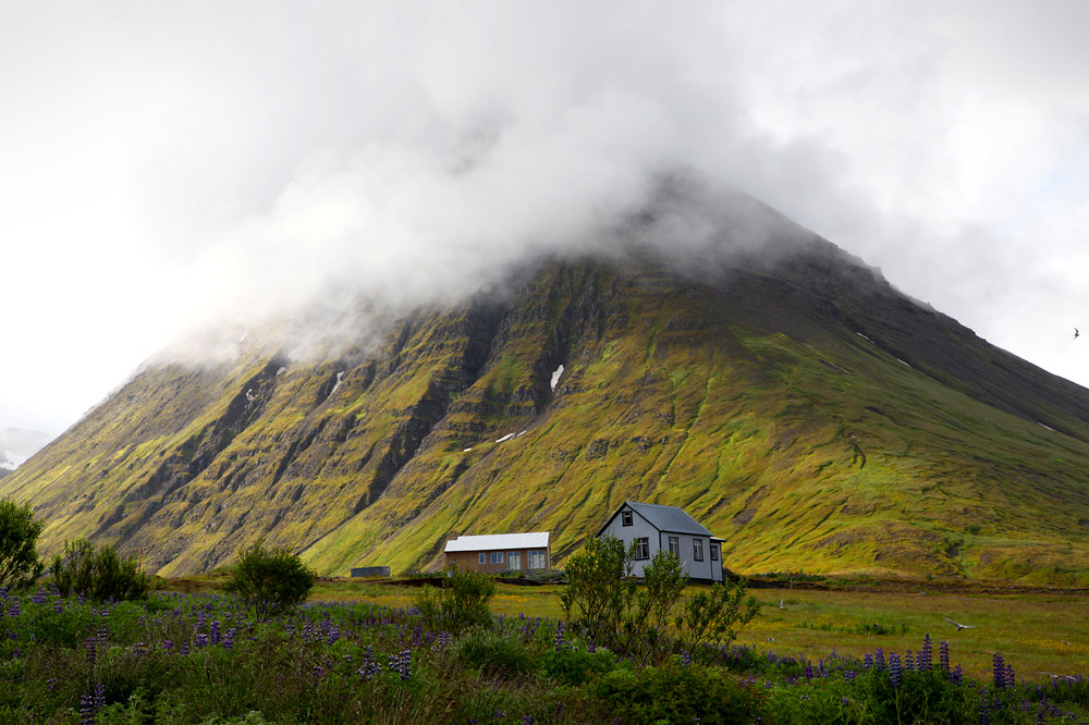
House at the bottom of the hill.
A little creek to cross.
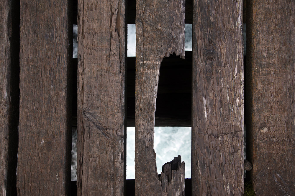
I’m glad we didn’t drive over this bridge.
Prepare for takeoff.
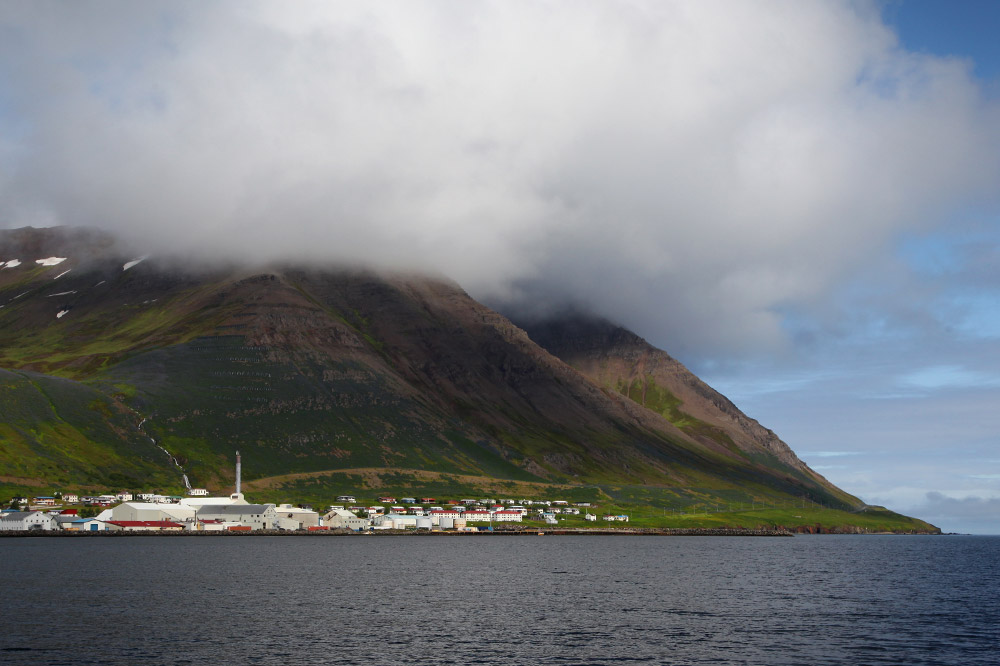
A view of town.
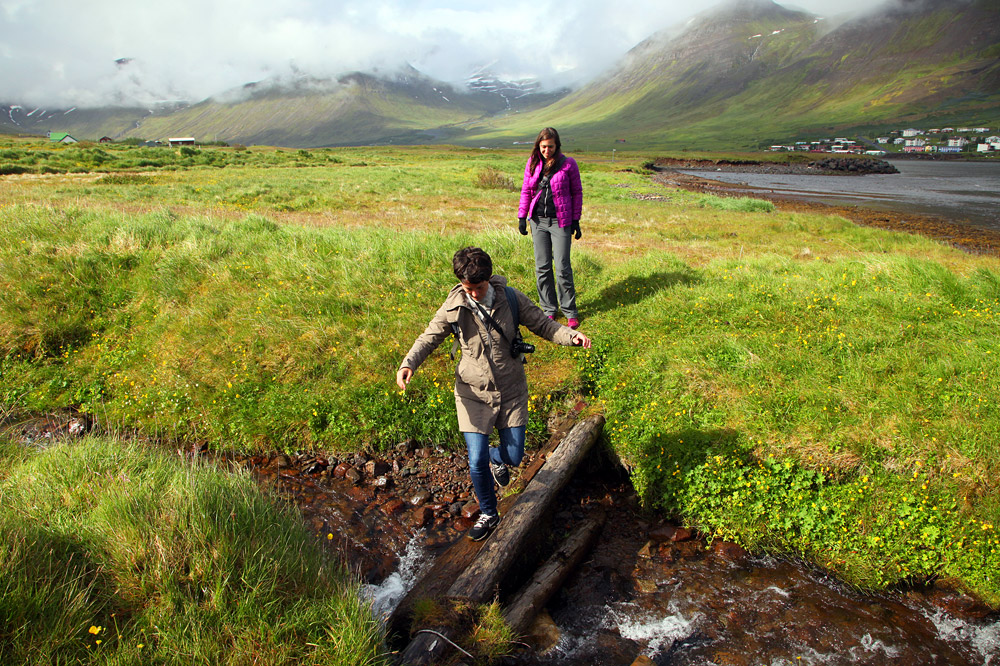
Crossing on a log.
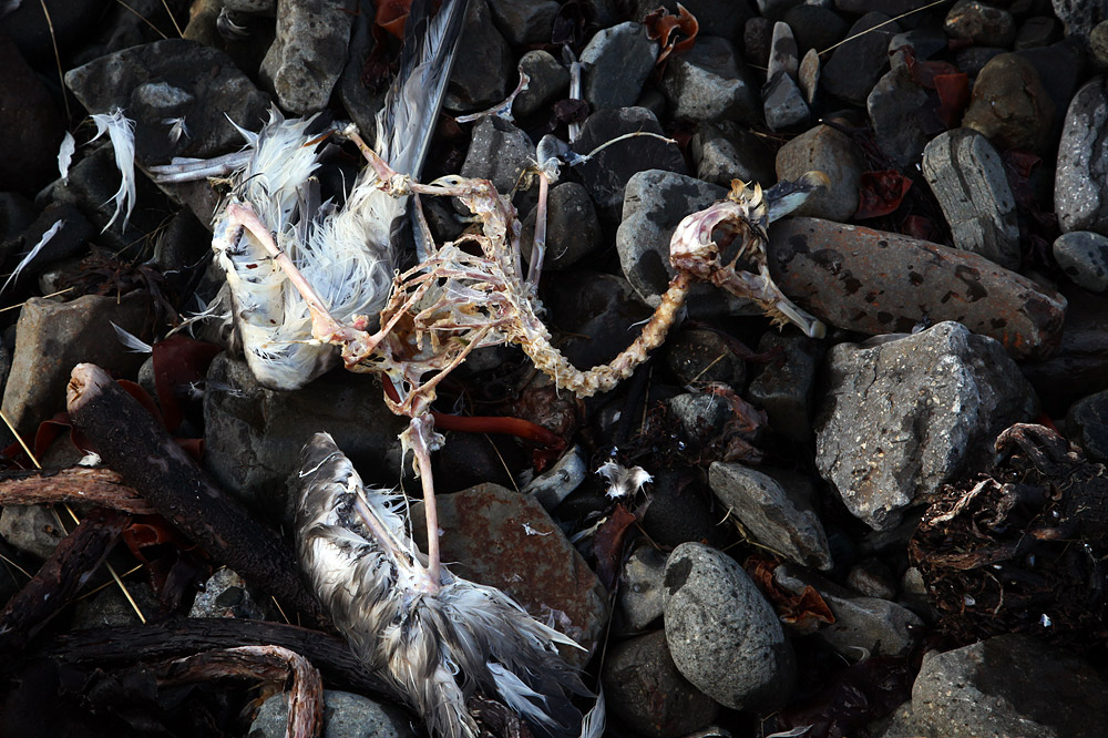
Gull bones.
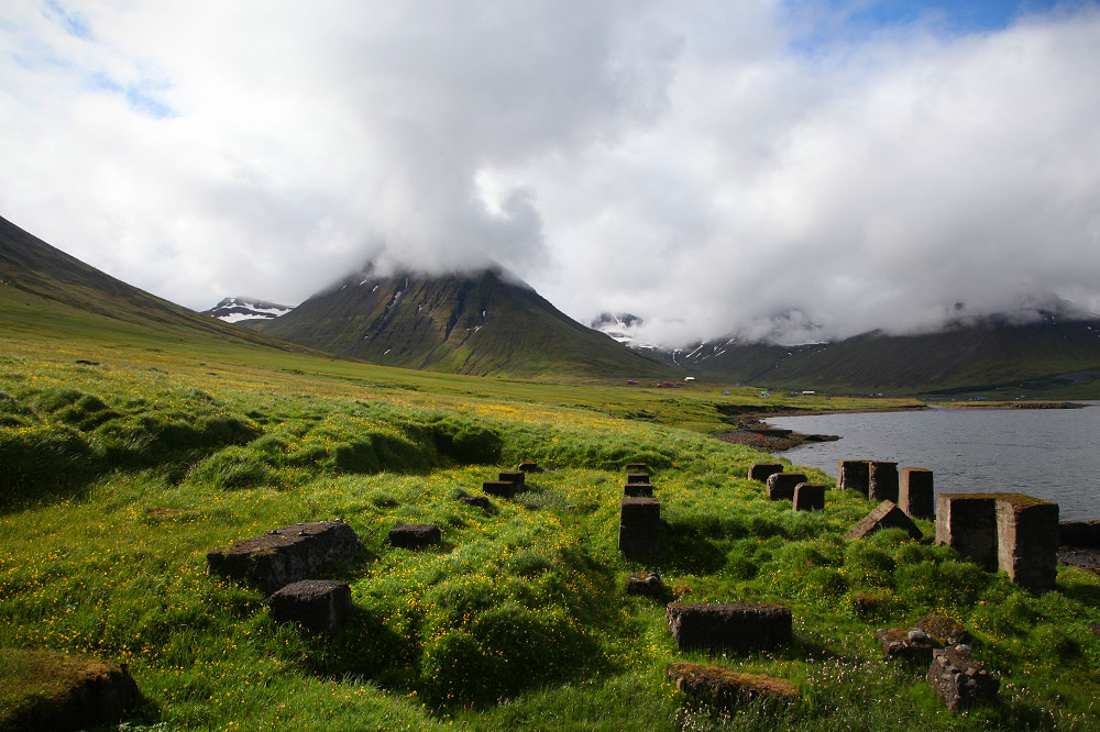
The ruins.
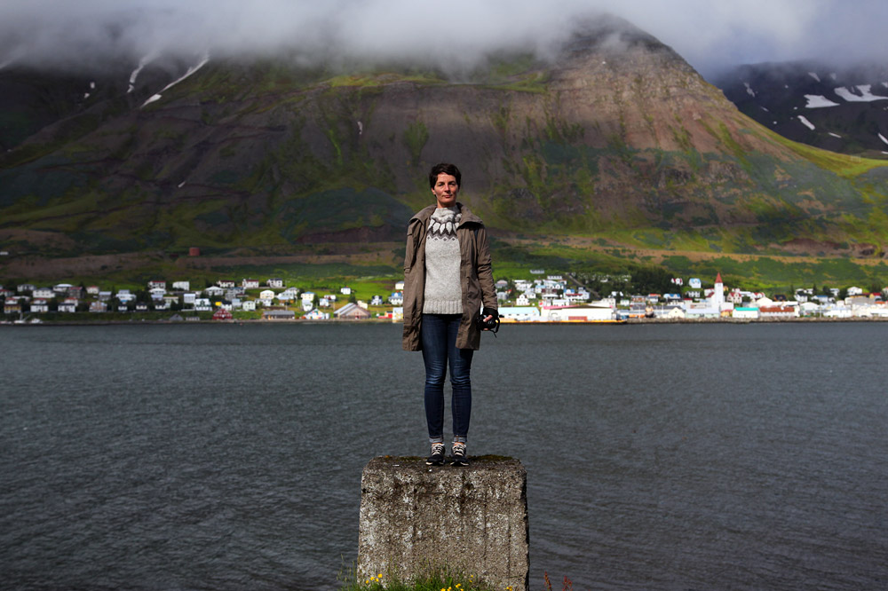
J and her snazzy sweater.
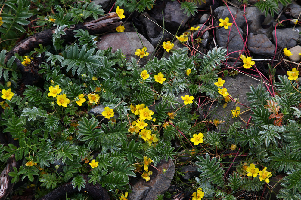
These plants look so much like strawberry plants, but I couldn’t identify them online.
We hiked back, avoided the swooping terns, and continued our drive.
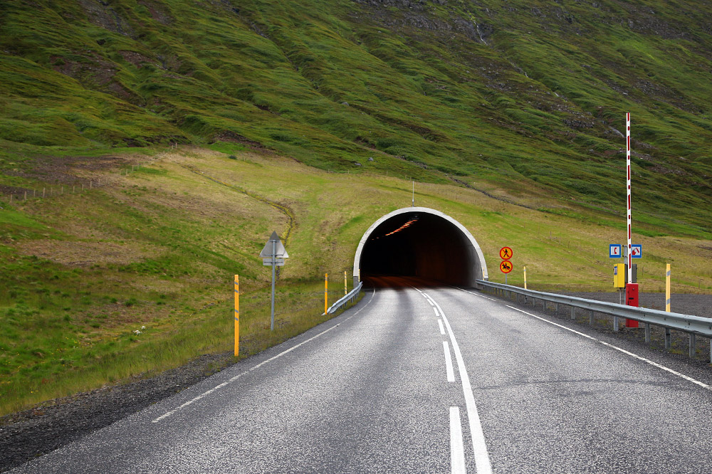
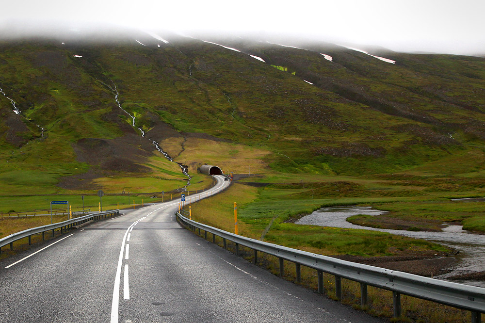
Immediately we entered a 4km/2.5mi tunnel. It opened up again into a small fjord before we entered a 7.75km/5mi long tunnel. The speed limit was reduced to 70kph which we adhered to precisely. In the darkness, it seemed like forever before we reached the exit at Ólafsfjörður. If only there was some way to calculate how long we were in there!
Short tunnel.
Long tunnel.
After the town, we ascended the hill and entered the craziest tunnel on the island. At 3km/2mi, the Seatðfurpants Tunnel wasn’t very long, but it made up for it’s length in lack of lanes. Instead of two lanes, there was one. The eastbound traffic had right away, which meant we could drive into the oncoming headlights and hope that they pulled over into the regularly spaced cubbies.
We made it through without incident, and learned that J has a fear of tunnels.
In Akureyri, we ate lunch and boarded our whale watching boat (around $60 each).
The sky was overcast and the water gray as we pulled out into the fjord.
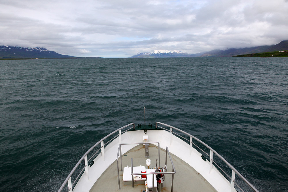
Heading out into the water.
I spotted the first whale, tapped on the PAID spotter’s shoulder and told her something was at 5 o’clock. She thanked me, and the large boat spun around to follow it. It was a humpback whale, and it just deep dove.
A few minutes later, it surfaced nearby. The boat followed a safe distance away and we watched it dive and surface a few more times.
My hands were freezing when we reached deeper water and two more humpbacks. We watched them for a while, then headed back.
Chaser.
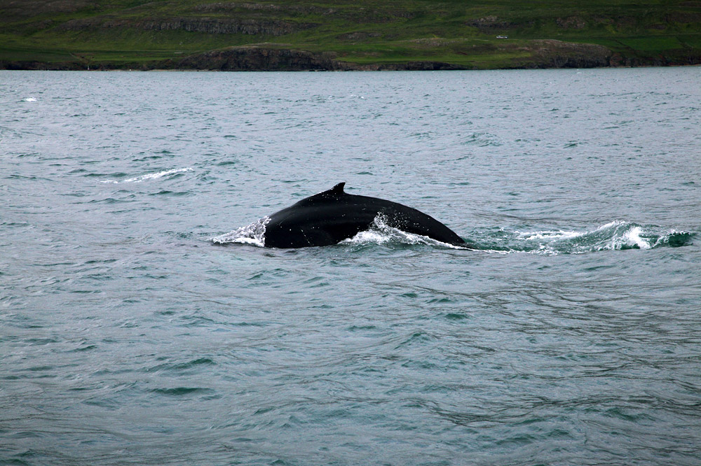
My humpback!
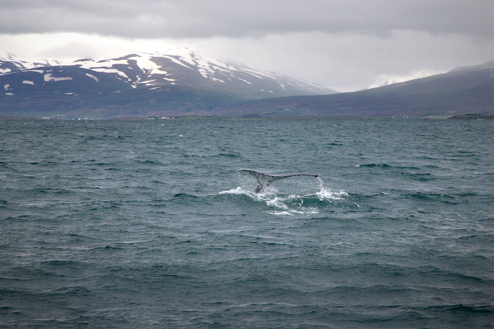
Deep dive.
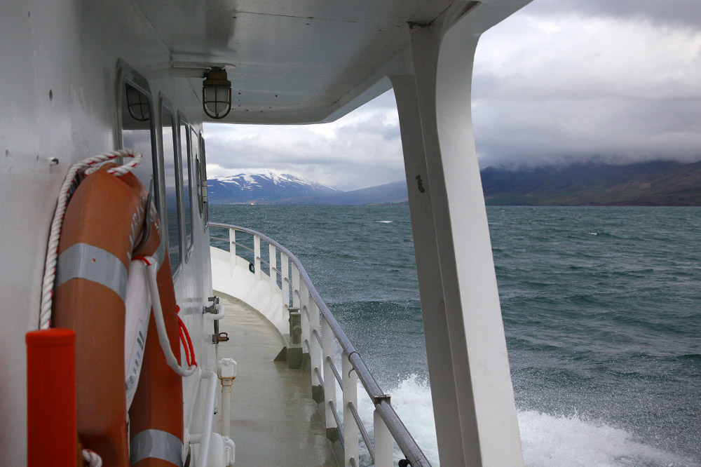
A misty walkway to the front of the boat.
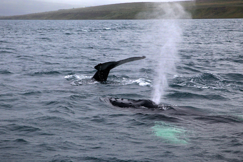
Two whales.
Stats: 4 whales, 3 hours, 2 freezing hands, 1 happy fellow.
We returned to to Sigulfjordur via the same tunnels. This time we had to yield.
At a fancy restaurant in the harbor, we ate a fancy birthday dinner, with fancy food and fancy prices.
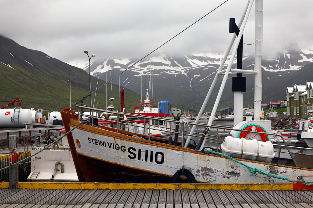
Harbor view.
When we returned to the house, it was raining again.
While the ladies watched Last of the Mohicans, I browsed sad news on the internet.